Seattle's New Density Bonus Runs Into Green Lake's Oldest Problem
October 1, 2026
October 1, 2026
A Green Lake bungalow now carries a zoning label that reads like an instant windfall: up to six units on a single lot, nine if the plans include stacked flats. That number is real. It is written into Seattle's Neighborhood Residential zoning, which took effect January 21, 2026, as part of the city's Comprehensive Plan 2044. What the zoning map does not show is what sits underneath a meaningful share of the lots that ring the lake, and that gap is starting to matter to anyone pricing a Green Lake property on its redevelopment potential rather than its current footprint.
Green Lake sits in a natural basin with a long documented history of soft, saturated ground, the kind of soil the city's own Environmentally Critical Areas map still tracks today. That history is not a footnote. It shows up in the seismic record too. During the magnitude 7 Tacoma earthquake of April 1949, ground shaking cracked the surface in several places around the region, and one of those cracks appeared along the pathway that circles Green Lake, according to the Washington State Department of Natural Resources. The soil that made that crack possible is the same soil an appraiser, a lender, or a buyer's geotechnical engineer runs into today when a redevelopment plan moves from concept to permit application.
Seattle's old single-family zoning is gone citywide. Ordinance 127376 collapsed the previous NR1, NR2, and NR3 designations into one Neighborhood Residential zone that allows houses, townhomes, duplexes through sixplexes, stacked flats, cottage housing, and courtyard apartments on a single parcel, with density capped at six units and nine with a stacked-flat bonus. That change followed an earlier, state-mandated stopgap ordinance that took effect in mid-2025 to meet Washington's middle housing law, but the permanent version now governing Green Lake lots is the one that took effect this January.
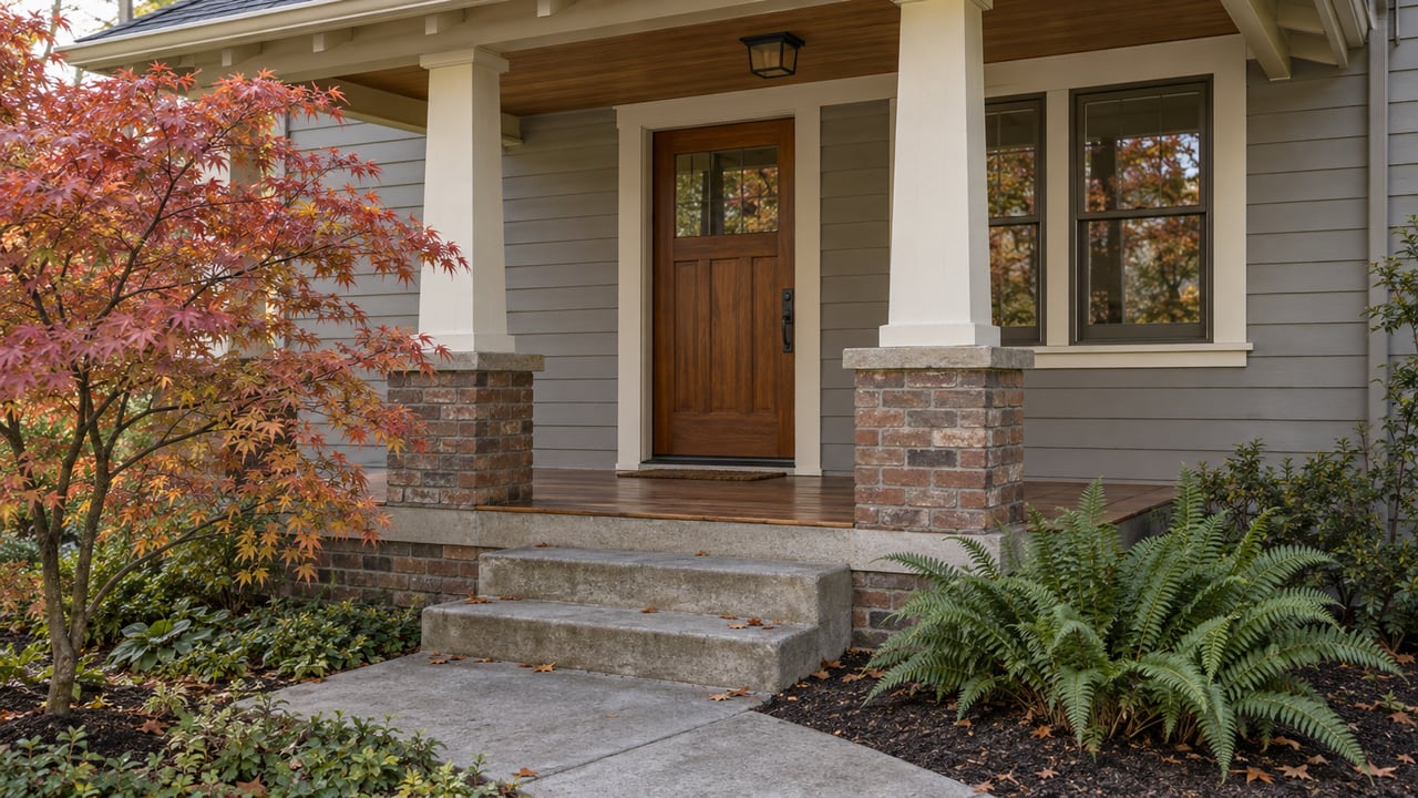
For a street of 1920s and 1930s Craftsman bungalows near the loop trail, that is a genuine shift in what a lot is legally allowed to hold. It is also, on its own, an incomplete answer to what a lot can actually build.
Seattle's Environmentally Critical Areas code, maintained by the Seattle Department of Construction and Inspections, designates several categories of geologic hazard that trigger extra review before a permit gets issued. Two of them describe Green Lake's basin almost exactly.
peat and organic soils that may settle when the area is developed
That is the city's own definition of a peat-settlement-prone area, and it sits alongside liquefaction-prone areas, described as sites with loose, saturated soil that lose strength during earthquakes. Both categories are drawn from the same geologic history that produced the 1949 ground crack. Neither designation blocks construction outright, but both change the paperwork a project needs before a shovel goes into the ground.
| Critical area type | What it describes | What it requires |
|---|---|---|
| Liquefaction-prone | Loose, saturated soil that loses strength during shaking | Geotechnical report for foundation work |
| Peat-settlement-prone | Peat and organic soils that may settle under load | Geotechnical report for foundation work |
| Steep slope erosion hazard | Grades that exceed the city's regulated slope threshold | Topographic survey, possible exemption request |
The liquefaction layer on the city's map is not the same one that governed permits a few years ago. SDCI updated it in 2023, replacing a map based on 1962 geology with one built from a 2005 geologic survey and more current earthquake modeling. A lot that cleared review a decade ago under the old map is not automatically clear today, and a bungalow that has never touched a permit application may sit inside a boundary its owner has never had reason to check.
None of this is abstract paperwork. SDCI requires a pre-application site visit for any project that disturbs more than 750 square feet of land, or any amount of land at all if the site falls within most categories of environmentally critical area. If exterior work or foundation alterations are proposed on a site with a designated geologic hazard, the city requires both a topographic survey and a geotechnical report before the standard construction permit process can even begin. A property owner can request that these requirements be waived through a formal modification, but that request has to be approved before the intake appointment, not worked out afterward.
For a bungalow being marketed as a teardown with sixplex potential, this is the sequence that separates a theoretical zoning right from a buildable project. The six or nine units exist on paper the moment the zoning takes effect. Whether they exist in practice depends on what a geotechnical engineer finds once the site plan gets pulled.
Green Lake's current numbers describe a market moving fast enough that few buyers are pausing to check a critical areas layer before writing an offer. Over the three months ending May 2026, homes in the neighborhood sold at a median price of $1.0 million, up 5.2% from the same period the year before, with an average of six days on market and a competitiveness score of 88 out of 100. Zillow's home value index, which measures typical home values rather than closed sale prices, put the average Green Lake home at $1,002,243 as of August 2026, down 2.4% over the past year. The two numbers measure different things and are not in direct conflict, but the gap is a reminder that a single "median price" headline does not describe one uniform market, even inside a neighborhood this size.
What both numbers share is speed. A market that clears listings in about a week does not leave much room for a buyer to commission a geotechnical report before making an offer. That is exactly the moment where an untested assumption about a lot's redevelopment capacity becomes expensive, either for a seller who priced in units that a permit application later disqualifies, or for a buyer who waived a contingency assuming the zoning map was the only map that mattered.
A listing that leans on Green Lake's new density allowance is making an implicit claim about buildability. Before that claim goes into marketing copy, it is worth requesting the property's standing under SDCI's critical areas layer, since the tool is public and the lookup itself does not require a permit application. If the parcel falls within a liquefaction-prone or peat-settlement-prone boundary, disclosing that upfront, alongside any past geotechnical work already on file with the city, gives a buyer's lender and engineer a real starting point instead of a surprise three weeks into due diligence.
A fixer near the lake's edge is not automatically riskier than one on higher ground toward Tangletown or Ravenna, but it is worth treating the zoning allowance and the soil report as two separate questions rather than one. Budgeting for a geotechnical report and a topographic survey before waiving an inspection contingency protects against a scenario where the unit count that justified the purchase price turns out to require foundation work the original pro forma never accounted for.
Does every Green Lake lot fall inside a critical area? No. The designation is parcel-specific and tied to soil type and slope, not a blanket rule for the neighborhood.
How do I find out if a specific lot is affected? SDCI's GIS portal shows zoning, environmentally critical area layers, and geologic hazard designations for any address in the city.
Does an ECA designation mean a project can't happen? Not usually. It means additional review, typically a geotechnical report and possibly a topographic survey, before the standard permit process moves forward.
Does this apply only to new construction? No. The topographic survey and geotechnical report requirements apply to exterior work and foundation alterations on ECA-designated sites, not just ground-up rebuilds.
The zoning conversation around Green Lake has moved fast this year, and the soil conversation has not caught up with it yet. If you are weighing a purchase or a listing near the lake and want a clear read on what a specific lot can actually support, Lizanne Wicklund can help you sort the zoning map from the ground truth before you write the offer or set the price.
Stay up to date on the latest real estate trends.

With an early career in design, marketing, and corporate partnerships at Seattle’s top firms, Lizanne brings a sharp, creative edge to residential real estate. She combines expert negotiation with data-driven marketing to deliver seamless results. Whether finding your dream home in Seattle or the Eastside's most coveted neighborhoods—or maximizing value for your property—Lizanne provides unparalleled service backed by Windermere, the region’s most trusted brokerage.
Let me know how I can assist you.